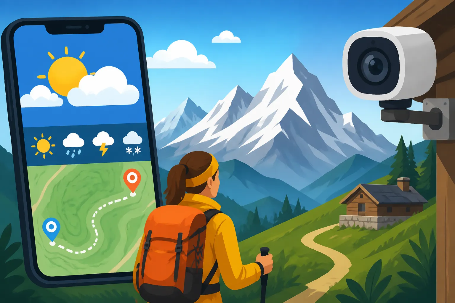
Weather Apps and Webcams for Planning Swiss Mountain Trips
Oh, the Swiss mountains! They beckon with such incredible beauty, don't they? But if you've lived here for more than five minutes, you'll know that mountain weather can be a real tease. One moment it's glorious sunshine, the next you're enveloped in a whiteout, or a surprise thunderstorm rolls in, ruining your carefully planned hike or ski day. It's truly one of the biggest frustrations when you're trying to explore this stunning country. This guide is going to walk you through the absolute essentials for predicting those notoriously fickle conditions: the best weather apps and webcams to ensure your next Swiss mountain adventure is as safe and enjoyable as possible.
Why Swiss Mountain Weather is a Fickle Friend (or Foe!)
Before we dive into the tools, let's commiserate a bit about why mountain weather in Switzerland feels like it has a mind of its own. It's not just you; it is genuinely challenging to predict, and even the most seasoned locals get caught out sometimes. The sheer verticality and varied topography of this country create a meteorological wonderland – or nightmare, depending on your perspective!
The Microclimates Phenomenon
Switzerland isn't just one big weather system; it's a patchwork quilt of microclimates. You can literally drive ten minutes and experience entirely different conditions. This is due to a combination of factors:
- Elevation Changes: As you gain altitude, temperatures drop, and weather patterns intensify. A sunny day in a valley can quickly become a snowy or stormy one at 2,000 meters. This vertical layering means you need to check forecasts for specific altitudes, not just general regional predictions.
- Valleys and Ridges: The deep valleys channel winds, create thermal updrafts, and trap moisture, leading to localized fog banks or dramatic cloud formations. You might see blue skies from your apartment, but the mountain peaks you plan to visit could be shrouded in dense cloud. Conversely, some valleys might be cloudy while the sun shines brilliantly higher up!
- The Infamous Föhn Wind: Ah, the Föhn! If you've lived here, you've heard of it. This warm, dry, down-slope wind can dramatically change temperatures in a matter of hours, melting snow rapidly or causing unexpected warmth. But it also brings headaches for many people and often signals a shift in weather, sometimes preceding intense thunderstorms. Understanding these unique local phenomena is key to staying safe and comfortable. If you want to know more about these unique weather patterns, check out our guide on Weather and Geography: Föhn Winds, Winter Readiness, and Alpine Living.
The Importance of Real-Time Data
Given these complex microclimates, relying solely on a general forecast, even a good one, just isn't enough for mountain excursions. A forecast might tell you there's a 30% chance of rain, but it won't show you that a heavy cloud bank is currently sitting precisely over the peak you planned to hike, or that the ski slopes are completely socked in.
This is where real-time data becomes your absolute best friend. We're talking about high-resolution radar images, hourly updates, and, most crucially, webcams. These tools give you a visual, immediate snapshot of what's actually happening on the ground, allowing you to make informed decisions about whether to proceed with your plans, adjust them, or perhaps scrap them altogether for a more sensible option, like a day trip to a city. Don't underestimate the disappointment (and potential danger) of arriving at a mountain only to find zero visibility or conditions far worse than predicted.
Essential Weather Apps for Your Swiss Mountain Adventures
Alright, let's get down to brass tacks. You need reliable tools right there on your phone. While there are many weather apps out there, a few stand head and shoulders above the rest for Swiss conditions, primarily due to their hyper-local accuracy and specific features designed for this terrain.
SRF Meteo: The Swiss Standard
If there's one weather app every expat in Switzerland needs, it's SRF Meteo. This is the public broadcaster's meteorological service, and it's incredibly robust and accurate for Swiss conditions. It's often the first place locals check, and for good reason.
- Unrivaled Local Accuracy: SRF Meteo excels at providing forecasts for specific locations, including tiny mountain villages and even individual peaks. You can save your favorite mountain destinations and get detailed forecasts for their exact altitudes. This specificity is absolutely critical when a few hundred meters in elevation can mean the difference between rain and snow, or sunshine and fog.
- Detailed Forecasts: The app provides comprehensive data, including temperature at different altitudes (e.g., valley vs. 2000m), wind speed and direction, precipitation probability, and even the "gefühlt" (felt) temperature, which accounts for wind chill. For hikers, the wind data is particularly vital, as high winds on exposed ridges can be genuinely dangerous and miserable.
- Precipitation Radar: This is a game-changer. The radar shows you real-time precipitation moving across the country, allowing you to see exactly when the rain or snow is expected to hit your location, and often, how intense it will be. It's invaluable for timing your hikes or outdoor activities to avoid getting drenched. You can often see small pockets of clear weather that might allow for a quick mountain ascent before the bad stuff rolls in.
- Special Mountain Forecasts: During peak hiking and ski seasons, SRF Meteo often provides specific mountain-oriented forecasts, highlighting things like freezing levels, snow conditions, and avalanche risk (though for serious avalanche risk, you'd cross-reference with SLF, the Swiss Institute for Snow and Avalanche Research).
MeteoSwiss: The Official Source
Another non-negotiable for anyone venturing into the Swiss mountains is MeteoSwiss. This is the official federal office of meteorology and climatology, meaning their data is authoritative and backed by government resources. Think of it as the ultimate source of truth when you need absolute certainty.
- Official Warnings and Alerts: MeteoSwiss is where you'll find official weather warnings – anything from severe thunderstorms and heavy snowfall to high winds and heatwaves. These warnings are color-coded and easy to understand, providing crucial safety information. If MeteoSwiss issues an alert for your planned mountain destination, take it seriously. It's often linked to broader safety information, like warnings about forest fires in dry conditions or increased rockfall risk after heavy rain.
- High-Resolution Forecasts: Like SRF Meteo, MeteoSwiss offers incredibly detailed forecasts, often down to hourly predictions for specific locations. Their interactive maps are fantastic, allowing you to zoom in on your exact area of interest.
- Specialized Bulletins: Beyond daily forecasts, MeteoSwiss publishes specialized bulletins relevant to various activities, such as aviation weather, lake forecasts, and specific agricultural reports. While not all directly applicable to your hike, it shows the depth of their data. For example, knowing lake conditions from MeteoSwiss can be crucial before enjoying activities like Wild Swimming and Lake Swimming Etiquette in Switzerland.
- Swiss Data Integrity: What makes both SRF Meteo and MeteoSwiss superior to generic international apps is their deep integration with Swiss-specific weather stations and models. They are designed for the unique challenges of the Alpine terrain.
Other Useful Apps and Their Niches
While SRF Meteo and MeteoSwiss are your primary weapons, a few other apps can complement your weather arsenal, especially for specific activities or preferences.
- Local Resort Apps: Many major ski resorts and hiking regions have their own dedicated apps (e.g., Zermatt, Jungfrau region, Engelberg). These often integrate local weather data directly, alongside information on lift statuses, trail openings, and webcam feeds. If you're planning a trip to a specific area, download their official app; it often has the most up-to-the-minute local info. This is especially helpful if you're trying to figure out Is the Jungfraujoch Trip Worth It in Bad Weather?.
- Mountain Forecast (or similar apps): Apps specifically designed for mountain climbing or high-altitude hiking can be useful. They often focus on wind chill, freezing levels, and snow depth, which are paramount for high-alpine activities. These might not replace the Swiss-specific apps for general accuracy but provide a useful layer of detail for serious mountaineers.
- Windy.com: While not Swiss-specific, Windy is a fantastic app for visualizing wind patterns, gusts, and even cloud cover across large areas using beautiful, interactive maps. For paragliders, sailors on the lakes, or anyone sensitive to wind, this is an excellent tool. It also integrates different forecast models, letting you compare them.
Webcams: Your Eyes on the Peaks (and the Fog!)
Okay, you've checked the forecast, you've looked at the radar, but there's still a nagging doubt. Is that cloud bank going to lift? Is there really enough snow? Are the views truly spectacular, or am I going to hike all that way for a whiteout? This is where webcams come in. They are absolutely non-negotiable for mountain planning.
Why Webcams are Non-Negotiable
Webcams provide undeniable proof. They show you, in real-time, exactly what the conditions are like at the summit, mid-mountain, or in the valley. A forecast can be wrong, but a live camera feed cannot lie about current visibility.
- Visual Confirmation: This is the big one. You might read "partly cloudy" on an app, but a webcam will show you if "partly cloudy" means fluffy white clouds against a blue sky, or dense, impenetrable fog completely obscuring the view. For trips focused on scenery (and let's be honest, most Swiss mountain trips are!), webcams are essential.
- Safety First: If you see whiteout conditions or raging blizzards on a webcam, you know immediately it's not safe or enjoyable to head up, regardless of what the forecast said an hour ago. For activities like skiing, webcams show you actual snow depth and quality, as well as visibility on the slopes. This can save you from a wasted journey and potential injury. Always check before you travel, and don't blindly trust an older forecast.
- Crowd Avoidance (Sometimes): While not their primary purpose, webcams can sometimes give you a sense of how busy a resort or viewpoint is. If the cable car queue looks like a snake winding down the mountain on the webcam, you might decide to try a different, less crowded spot or delay your visit.
Top Webcam Platforms and Regional Networks
Finding webcams in Switzerland is surprisingly easy, as the country is practically blanketed in them.
- swisswebcams.ch: This is often the first stop for many. It's a fantastic aggregation site that pulls together hundreds, if not thousands, of webcams from across Switzerland. You can browse by region, canton, or specific mountain. It's incredibly comprehensive and usually very up-to-date.
- Local Tourism & Resort Websites: Every major mountain resort (Zermatt, Grindelwald-Wengen, Engelberg, Verbier, etc.) and many smaller ones will have dedicated webcam pages on their official websites. These are often higher resolution, more frequent updates, and sometimes even offer panoramic or 360-degree views. If you're headed to a specific area, go directly to their site. For instance, if you're planning a trip to the Engadine, search for "St. Moritz webcams" and you'll find plenty.
- SBB.ch: Surprisingly, the national railway often integrates webcam feeds for key stations and routes, especially those that lead into mountain areas. This can be useful for checking transport conditions, which is especially important if you're taking The Bernina Express: Crossing the Alps to Italy by Scenic Train.
- In-App Integration: Many of the weather apps we discussed earlier, like SRF Meteo, also integrate webcam feeds directly, allowing you to switch seamlessly between forecast data and visual confirmation.
Reading Between the Lines of a Webcam
A webcam isn't just about "sun" or "fog." You can glean a lot more from it if you know what to look for:
- Cloud Height: Observe where the clouds are sitting. Are they above the peaks, below the peaks (in the valleys), or right at your target altitude? A webcam at 2,500m showing clear skies, while a webcam at 1,500m shows fog, tells you to go above the clouds! This "sea of fog" effect is stunning and often means glorious sunshine on the peaks.
- Light and Visibility: Even if it's not foggy, how crisp is the light? Hazy light can mean reduced visibility or impending weather changes. Look for contrast; clear days have sharp shadows and vibrant colors.
- Snow Quality (for winter sports): For skiers and snowboarders, webcams can show fresh powder, icy patches, or slush. You can see how busy the slopes are and if they've been freshly groomed. This visual check is invaluable before investing in lift tickets and equipment rentals. If you are planning a skiing trip, consult our article on Skiing in Switzerland: Resorts, Passes, and Costs for Residents.
- Time Stamps: Always, always check the time stamp on the webcam feed. If it hasn't been updated in hours, it might not be accurate. Most good webcams update every few minutes.
- Compare Multiple Cams: Don't just look at one! If your destination has multiple webcams at different altitudes and angles, check them all. This gives you a much better overall picture of the conditions.
Integrating Forecasts and Webcams for Smart Planning
Now that you know your tools, the real magic happens when you use them together, not in isolation. This layered approach is what truly separates a well-planned, enjoyable mountain trip from a potentially disappointing (or even dangerous) one.
The "Layered" Approach to Weather Checks
Think of your weather planning as building layers, just like you would layer your clothing for a mountain hike (which you absolutely should, by the way – see our guide on What to Pack for a Day Trip to the Swiss Alps!).
- Early Planning (Days Out): Start with the general forecast from SRF Meteo or MeteoSwiss a few days before your planned excursion. This gives you a broad idea of the prevailing weather pattern – high pressure, low pressure, approaching fronts. At this stage, you're looking for major red flags that might make you reconsider your initial idea, like a heavy storm system forecast. If you're booking things like tours via GetYourGuide or accommodation via Booking.com, this is when you factor in the general outlook.
- Mid-Range (The Day Before): The day before your trip, dive deeper. Check the hourly forecasts for your specific mountain destination on SRF Meteo and MeteoSwiss. Look at wind predictions, precipitation chances, and temperature ranges at various altitudes. This is where you finalize your gear choices and decide on a backup plan if the forecast starts looking dodgy.
- Real-Time (Morning Of): On the morning of your trip (or even an hour before you head out the door), hit those webcams! This is the ultimate decider. Compare what you see on the webcams with the updated hourly forecast. Is the fog lifting as predicted? Has fresh snow fallen? Are the views clear? This final check is crucial for avoiding unnecessary travel and disappointment. If you've booked a train ticket via Omio, for instance, you'll still need this final check to know if the destination is worth the journey.
Interpreting Warning Signs
Beyond just "rain" or "sun," pay attention to these critical indicators:
- Sudden Temperature Drops: A forecast showing a rapid temperature drop, especially accompanied by strong winds, means conditions can become very harsh very quickly, increasing the risk of hypothermia if you're not adequately prepared.
- High Wind Alerts: Wind is often the most overlooked danger and discomfort factor in the mountains. High winds can make even a sunny day feel bitterly cold, destabilize you on exposed paths, and even close mountain transport like cable cars. MeteoSwiss will issue explicit wind warnings.
- Fog and Low Cloud Warnings: Forecasts often mention "Nebelgrenze" (fog limit) or "tiefe Wolken" (low clouds). If the cloud base is predicted to be below or at your target altitude, it means zero views and potentially disorienting conditions. This is a primary reason to check webcams, as they'll show you if you're heading into a white wall.
- Thunderstorm Risk: Summer thunderstorms in the Alps can be violent and come on very quickly. If there's a "Gewitter" (thunderstorm) risk, especially for the afternoon, plan to be off exposed peaks and ridges well before midday. The precipitation radar on SRF Meteo is fantastic for tracking these. Remember, in mountains, lightning strikes are a serious threat.
What to Do When the Weather Turns Sour
Despite your best planning, Swiss mountain weather sometimes just doesn't cooperate. It happens to everyone! The key is flexibility and a good attitude.
- Have Backup Plans: Always have a Plan B. If your peak hike is out due to fog, perhaps a lower-altitude valley walk or a visit to a charming town in the region makes more sense. Consider indoor activities too, like visiting a museum or a thermal spa. We have great resources on Rainy Day Activities in Switzerland for Families.
- Prioritize Safety: Never take unnecessary risks. The mountains will always be there. If conditions are dangerous (heavy snow, high winds, lightning), turn back or change your plans without hesitation. This is where knowing Mountain Safety in Switzerland: Weather, Gear, and Emergency Numbers becomes vital.
- Embrace the Unexpected: Sometimes, even "bad" weather can offer unique beauty – misty landscapes, dramatic cloud inversions. Just make sure you're safe and dressed appropriately. And remember, that even on public holidays like Public Holidays in Switzerland: National and Cantonal Days Off, bad weather can hit, so planning alternatives is key.
Using these apps and webcams isn't about eliminating uncertainty completely; it's about minimizing risk and maximizing your chances of a truly incredible experience in the Swiss Alps. Happy exploring!
Disclaimer
Please remember that weather forecasts and webcam images are aids for planning and safety, but actual conditions in the mountains can change rapidly and unexpectedly. Always exercise caution, be prepared for sudden changes, and use your best judgment. This guide provides general advice and should not replace professional meteorological warnings or local expert guidance. Always assess your own capabilities and carry appropriate gear for the conditions.